TouchTrails
Route Planner, GPX Viewer/Editor
개발자
Pixelclash
꾸러미:
com.wolfgangknecht.sketchatrack
다운로드:
10K
크기:
6.4 MB
지원되는 android 버전:
5.0 이상
업데이트 날짜:
2020년10월9일
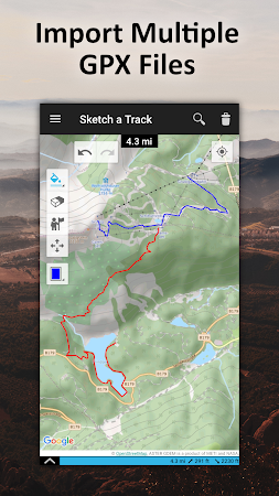
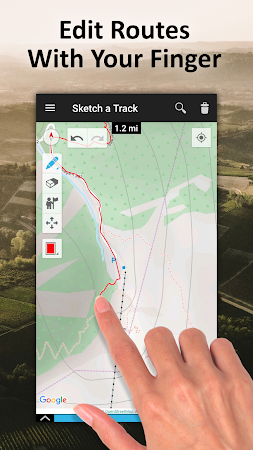
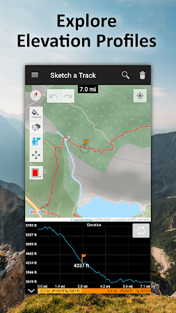
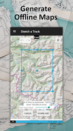
TouchTrails is an easy to use route planner. Measure the distance of your last running activity or explore the elevation profile of the next bike tour you are planning to do. Just draw it on the map and get the information you're looking for. TouchTrails is the perfect route planner for all kind of outdoor activities, including: Hiking. Cycling. Mountain Bike. Running.
댓글