꾸러미:
com.imageotag
다운로드:
10K
크기:
231 KB
지원되는 android 버전:
2.2 이상
업데이트 날짜:
2014년4월28일
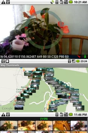
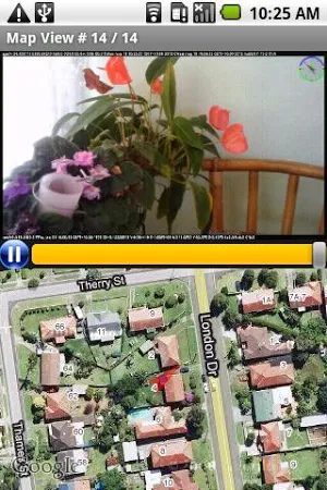
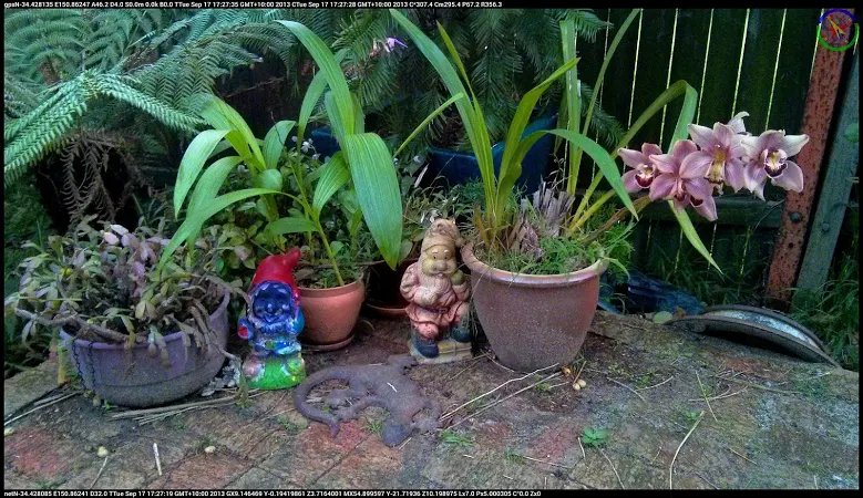
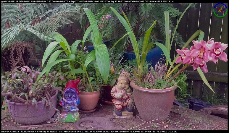
Imageotag is a precision field camera app for Android V2. 2+ devices. Imageotag snaps 16: 9 geo-tagged images, embedding GPS & NET location, accelerometer, bearing, compass, date, light lux, magnetic field, pitch, proximity, roll, speed, temperature & time data. Imageotag creates Google Earth Tours from GPS image sequences.
댓글