꾸러미:
ca.underhill.copan
다운로드:
1K
크기:
1.2 MB
지원되는 android 버전:
2.2 이상
업데이트 날짜:
2014년5월9일
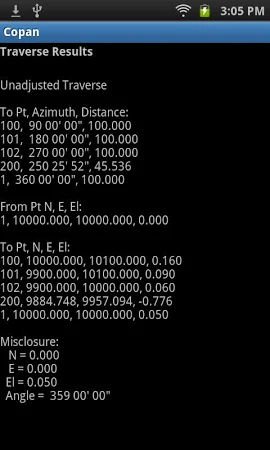
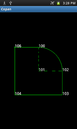
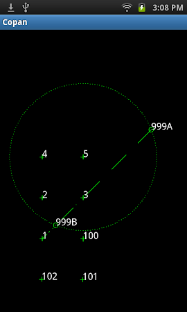
Copan is a geomatics engineering tool for computing and managing plane land survey coordinates. Functions: Calculates Inverse, Traverse, and Intersections with Coordinate Geometry (COGO) functions. Calculates circular curves. Processes and adjust field traverse survey data. Performs map/deed closure checks and area calculations with Map Check.
댓글