꾸러미:
jp.yasshi.MilitaryNaviV2
다운로드:
1K
크기:
6 MB
지원되는 android 버전:
4.0.3 이상
업데이트 날짜:
2020년10월14일
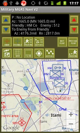
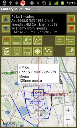
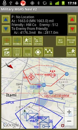
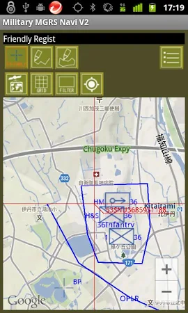
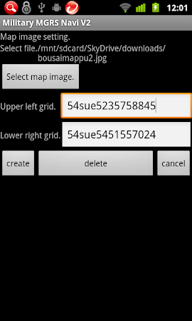
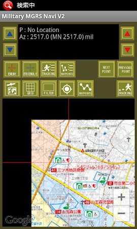
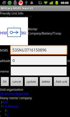
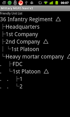
Changes map of Military MGRS Navi to google map v2. And add functionality. It is a navigation tool that specializes in MGRS coordinate that is used by the U. S. Military. Azimuth is displayed mil. You can plot the position of friend and enemy. Draw operation line and area. Unit symbol can be move position. By drag. The symbols are the standard U. S. Army title.
댓글