MapCalibrator
개발자
Martin Ohlin
꾸러미:
com.Martin.MapCalibrator
다운로드:
10K
크기:
308.89 KB
지원되는 android 버전:
4.0 이상
업데이트 날짜:
2014년6월28일
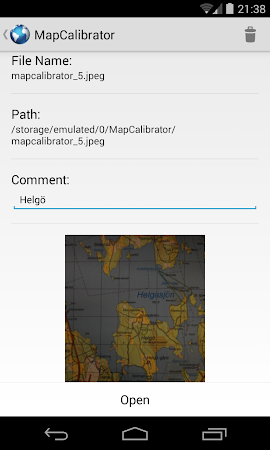
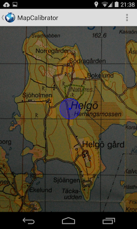
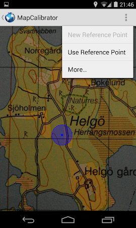
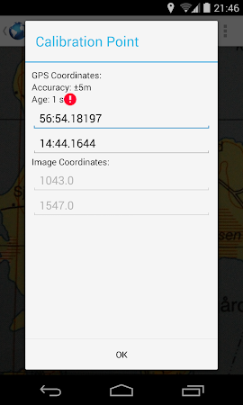
MapCalibrator calibrates custom maps to the real world using gps positions. It allows you to see your position on top of high quality custom maps. Maps can be either PNG files (recommended) or JPEG files. It is also possible to use the devices built in camera to take a picture of a map, e. G., when standing in front of an information board.
댓글