Norgeskart Outdoors
Offline maps & trips Norway
개발자
Asplan Viak Internet AS
꾸러미:
no.avinet.norgeskart
다운로드:
100K
크기:
12 MB
지원되는 android 버전:
4.4 이상
업데이트 날짜:
2020년10월16일
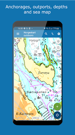
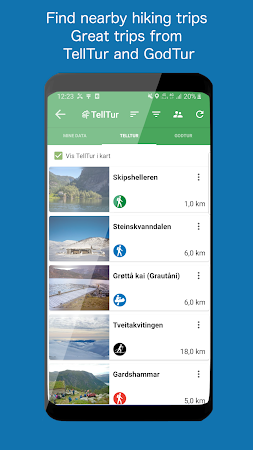
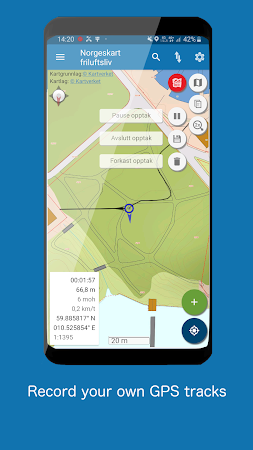
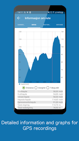
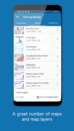
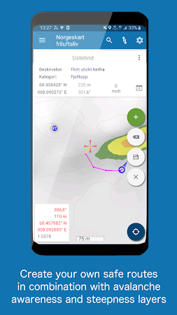
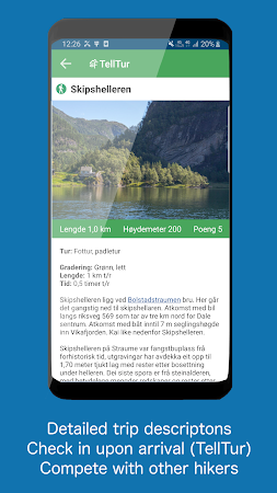
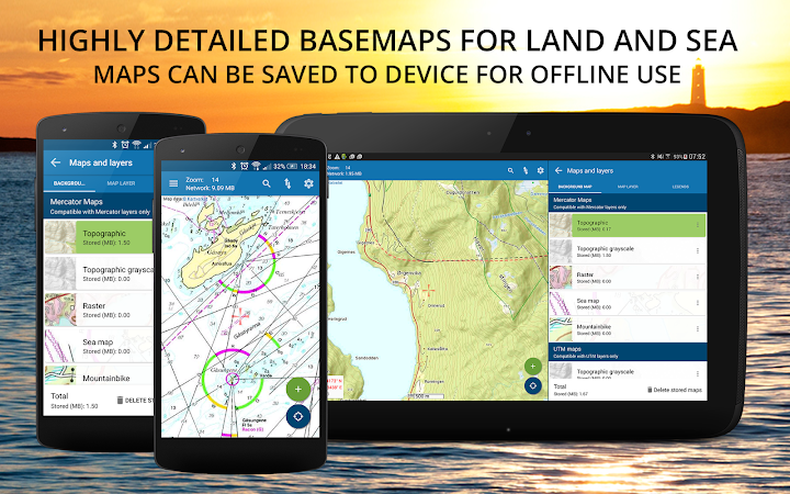
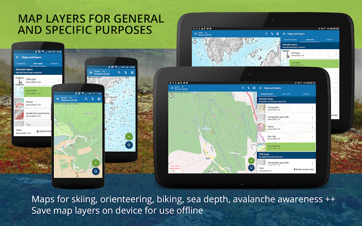
Norgeskart Outdoors has all what you need for hiking, biking, boating or skiing. Everything can be made available for offline use without mobile coverage. Includes topographically maps for Norway, Svalbard, Jan Mayen and Sweden. Now also with altitude (also depth at sea) and place name for any given location in Norway!
댓글