SityTrail hiking trail GPS offline IGN topo maps

SityTrail hiking trail GPS offline IGN topo maps

꾸러미:
com.geolives
다운로드:
100K
크기:
13 MB
지원되는 android 버전:
4.0 이상
업데이트 날짜:
2019년5월20일
2K
최신 버전:
12.0.1
모든 버전
나이:
각자 모두
무료 다운로드

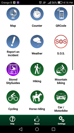
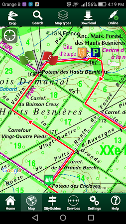
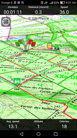
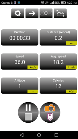
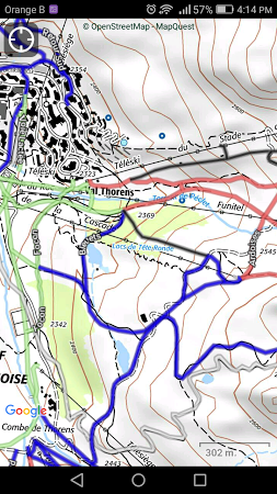
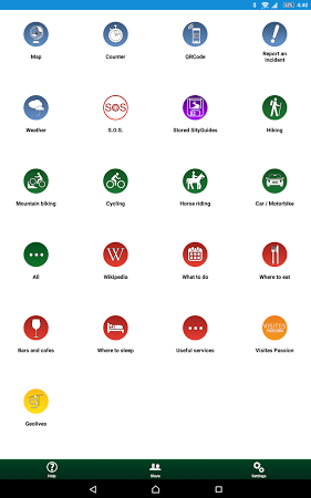
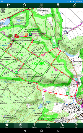
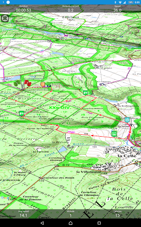
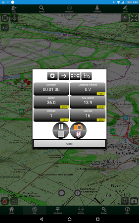
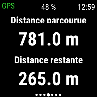
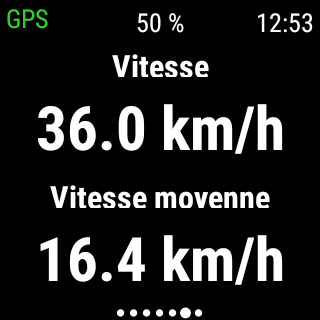
SityTrail FREE advantages! Full Hiking GPS designed to discover all the paths around the world. Record your trails while taking HD and geolocalized pictures of your adventures. Traveled distance, Km-effort, average speed, burned calories, Accurate altimeter, height difference computing and elevation profile. Alarm when you leave the track of the trail being followed.

Permissions required by SityTrail hiking trail GPS offline IGN topo maps v. 11.3.9

Those that potentially access the user's/ your sensitive information:
  • Get a network access to the approximate location
  • Get an access to the current location from the network-based resources
  • Access phone state without changing it
  • Capture photos and videos
Permissions rarely used in 여행 및 지역정보:
  • Access the current list of running apps
Commonly used:
  • Save files to external storage
  • Access data stored on external storage
  • Prevent device from going to sleep

댓글

관련 콘텐츠

출신 앱 Geolives Belgium S.P.R.L.